
This is Part 8 of our 13-part Angkor series. Read Part 7: How to Visit Angkor: Routes, Circuits, and Itineraries
Angkor was as much a hydraulic machine as a city.
The temples are what we photograph. But below them, invisible from the top of any tower, runs a network of canals, reservoirs, embankments, and channels that made it possible to feed nearly a million people in a climate that swings between torrential monsoon and months-long drought. The Khmer Empire did not rise because of its kings. It rose because its engineers understood water.
The scale of the system
Recent lidar surveys have revealed the full extent of the Greater Angkor region: a low-density urban sprawl covering roughly 1,000 square kilometres. At its centre sits a water distribution system that would be impressive by modern standards.
The core of the system was the baray, a massive rectangular reservoir, man-made, lined with stone and earth. Three main barays defined the city:
- The West Baray: 8 km by 2.2 km, the largest. It still holds water today. You can see it from the road between Siem Reap and the temples, a vast sheet of water stretching to the horizon. Volume: roughly 40 million cubic metres.
- The East Baray: 7 km by 1.8 km, now dry. Its outlines are visible from Pre Rup and East Mebon, which were built on islands within the reservoir.
- The Jayatataka Baray: 3.5 km by 900 metres, associated with Neak Pean, the island temple at its centre. Still recognisable as a depression in the landscape.
These barays were not decorative. They were functional. They captured monsoon rainwater, regulated its release through a system of canals and sluice gates, and distributed it across the agricultural plain through a grid of channels that fed the rice fields through the dry season. The entire system was gravity-fed: no pumps, no electricity, only the precise knowledge of slope and flow.
The canals
The lidar data reveals something the ground-level visitor cannot see: a city laid out on a grid. The canals of Angkor ran in straight lines, oriented north–south and east–west, dividing the urban area into blocks. Houses, temples, and markets sat on the higher ground between the canals.
The main canal, the Siem Reap River, was partially canalised and redirected to feed the barays. The river still flows today, though its course has shifted. The entire system was designed to handle two opposite problems: too much water in the monsoon (June to October) and too little in the dry season (November to April). The barays stored the excess and released it in the dry months. The canals drained the floods and carried them away.
What you can still see
The West Baray is the most visible remnant. It still holds water, not because it has been maintained, but because it was so massive that natural rainfall fills it to this day. A road runs along its southern embankment. You can stop, walk to the edge, and look across a body of water built by hand in the 11th century.
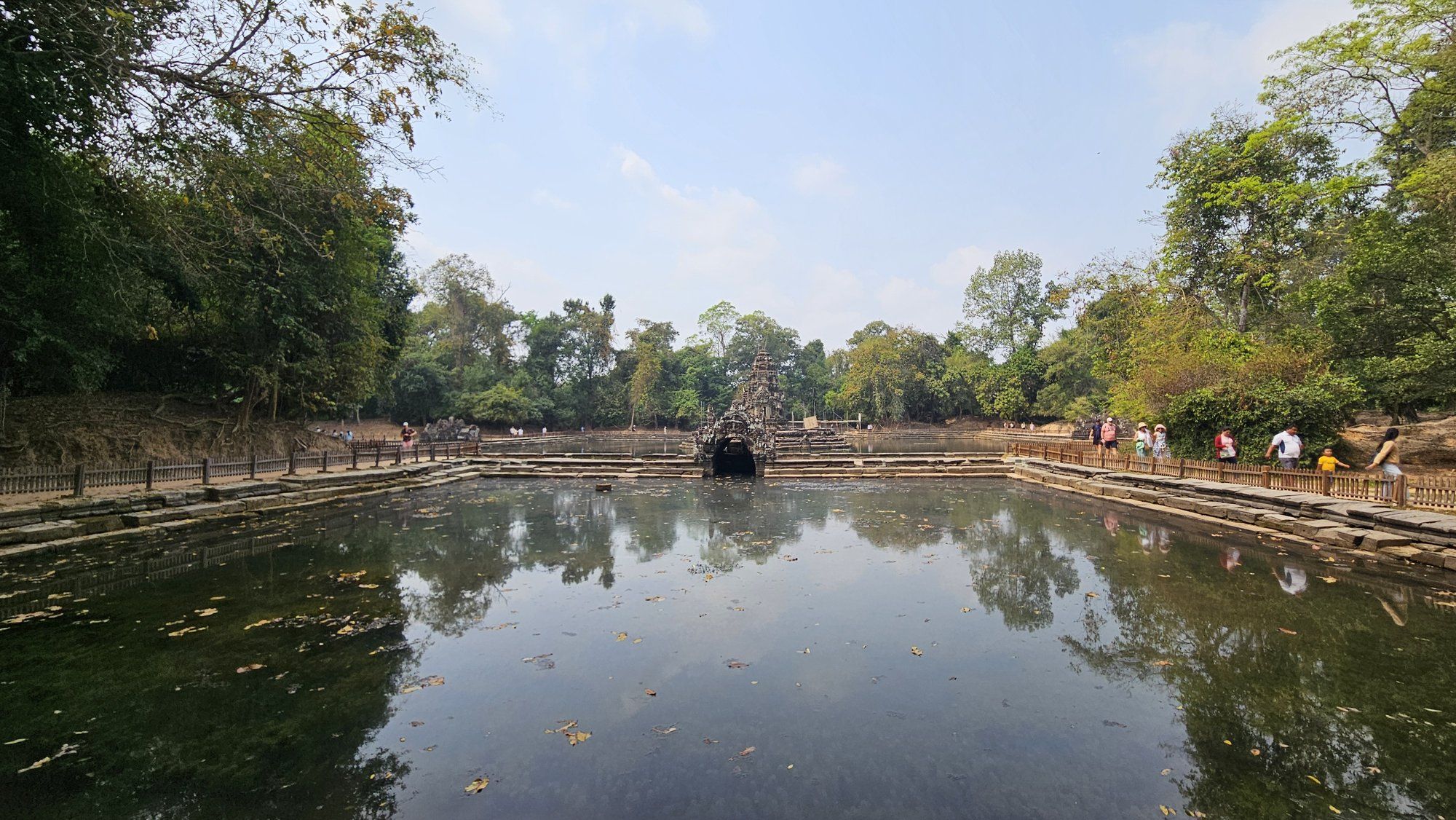
Neak Pean sits on an artificial island in the centre of the Jayatataka Baray, which is now dry. You walk across the dry bed of the baray on a wooden causeway to reach the temple. The experience is eerie: a small island temple in the middle of a flat, empty plain that was once filled with water.
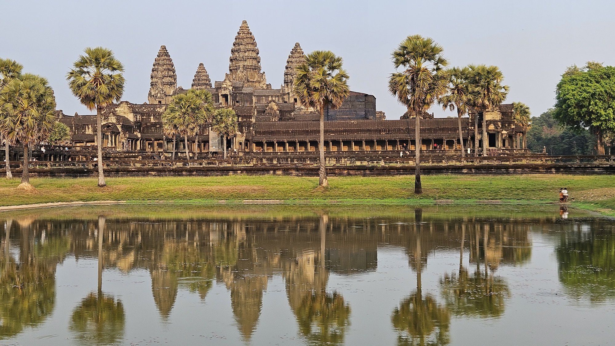
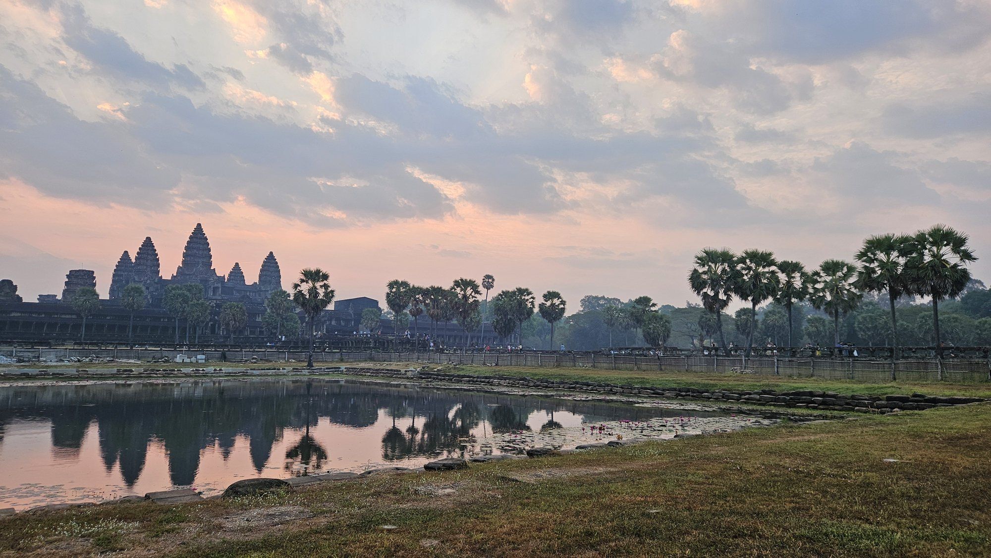
The moats around Angkor Wat (200 metres wide, 5.5 km perimeter) were working parts of the hydraulic system: storing water, regulating flow, and creating a microclimate that kept the temple stable. The moat is not dry. It has held water continuously for nine hundred years.
The dry East Baray is visible from the road. The outline is unmistakable: a rectangular depression kilometres across, with trees growing in what was once the bottom. East Mebon, the brick temple built on an artificial island, now stands on dry ground.
Why it collapsed
The leading theory for the fall of the Khmer Empire in the 14th and 15th centuries is a combination of climate change and infrastructural failure. Tree-ring and sediment core data show that the region experienced several decades of severe drought, followed by extreme monsoon flooding during the 14th century: exactly the conditions that a gravity-fed canal system cannot handle.
The canals were designed for a stable climate. When the monsoons arrived with unusual intensity, the water overwhelmed the channels and the system silted up. When the droughts came, the barays emptied and could not refill. The agricultural base that supported the empire collapsed. The population shifted south and east, toward the Mekong and the coast. Angkor, after six centuries, was abandoned.
The recent lidar studies support this: the canal grid shows signs of modification and repair near the end, as engineers struggled to keep a failing system alive. They were fighting the climate, and the climate won.
Why it matters for a visitor
You come to Angkor for the temples. But the water system is the context that makes the temples legible. The moats, the barays, the dry lakes, the canals you cross on every road: they are not scenery. They are the machine that made the city possible.
The West Baray is worth a sunset visit. Neak Pean is worth the long causeway walk, even when the lake is dry. The view from Pre Rup across the empty East Baray basin is the best place to imagine what was lost.
Next: Siem Reap, the gateway town itself.
Let Tripcuro Plan Your Angkor Journey
Tripcuro designs your Cambodia journey end to end — from flights out of your city and the Angkor temple pass to a Siem Reap stay with perks at Raffles Grand Hotel d’Angkor or Anantara Angkor. We add the West Baray sunset and the Neak Pean causeway to your route — the pieces most itineraries skip. Tell us your dates and we will build a bespoke itinerary around them.